Surrounding Area

A view looking North from the canal towpath at the Northern extremity of Players Industrial Estate, with the Swansea canal in the foreground and the Lower Clydach aqueduct in the middle distance. St Mary’s church Clydach is in the background.
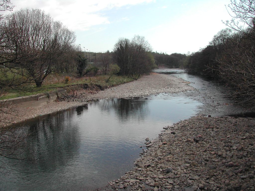
The river Tawe after a period of very low rainfall, viewed from the Lower Clydach aqueduct, facing South.
The Vardre RFC playing fields are situated to the left of the picture.
Players Industrial Estate is located on the right behind the treeline.

The Lower Clydach aqueduct taken from the East bank of the river Tawe, with the Lower Clydach river flowing below the aqueduct into the Tawe.
Players Industrial Estate’s is located to the left of the aqueduct.
A view facing East across the Swansea valley shows the location of Players Industrial Estate in the middle of the picture.
The Vale Mond nickel refinery is located to the left.


A little further away are designated areas of outstanding natural beauty.
One such is shown in this aerial photograph of Worm’s Head, a pristine National Trust property situated at the South Western tip of the Gower Peninsula.
